Whew! We are almost there, everyone!
Day Seven was a doozy of a hike, let me tell you!
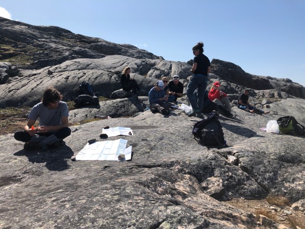
First, I will orient you on the map:

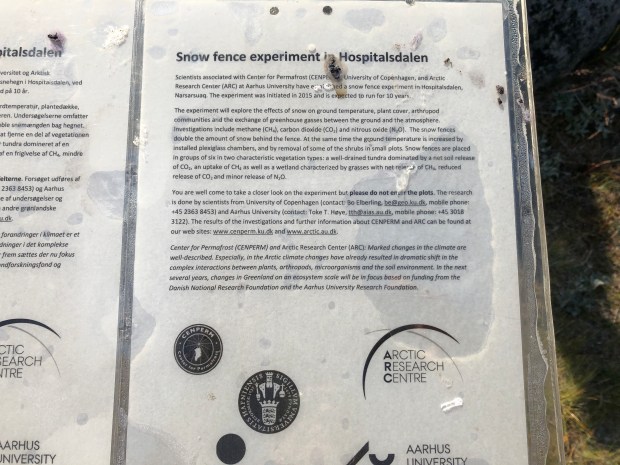
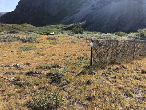
We left the hostel in Qassiarsuk to go to Narsarsuaq. Once there, we had a short drive to the end of the road and got to what is now called “Hospital Valley”. It is called this because it is where the US built and ran a hospital during World War II. At the end of the war, they took the hospital down. Now, it is a place where there are experimental plants growing…the experiments are with light and cover to see what grows better with what kind of light/shelter. I think most of the students are from the University of Copenhagen.

The valley was rumored to be haunted as the Inuit people were, understandably, freaked out when they saw people with pretty severe injuries wandering around.
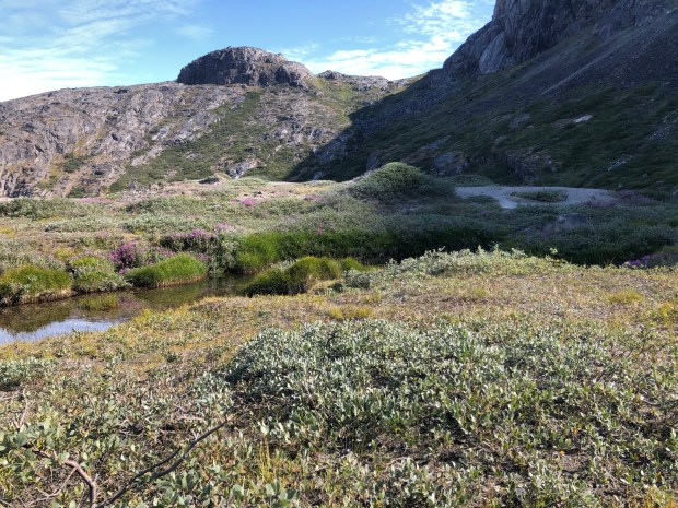
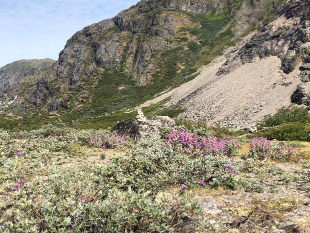
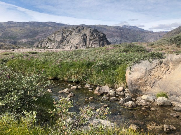
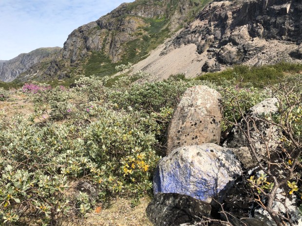
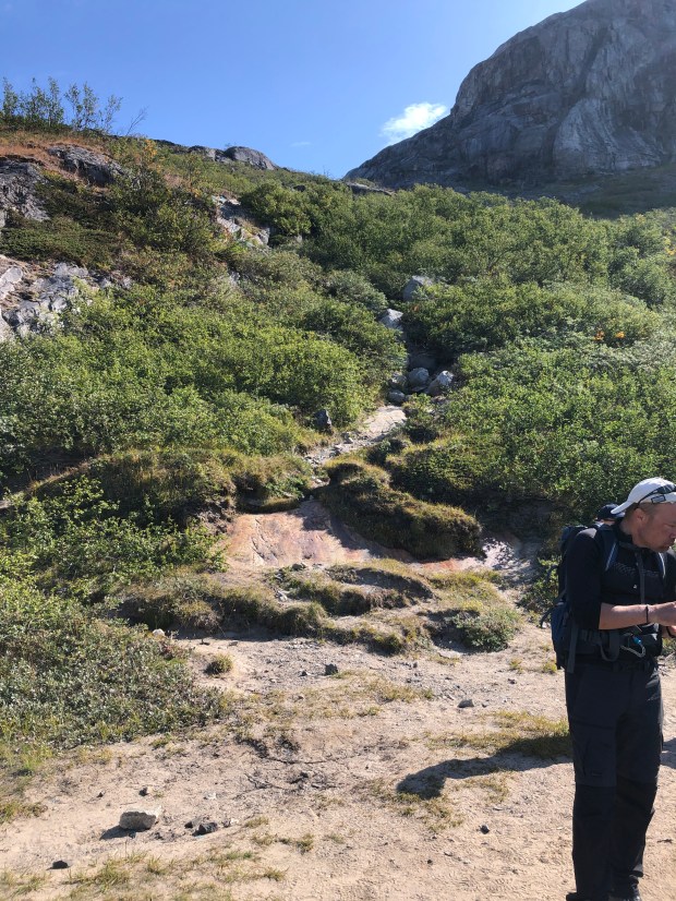
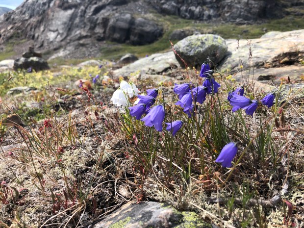
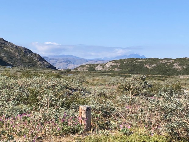
After leaving Hospital Valley, the real hike was underway. We hiked through Flower Valley, which I was super excited to see because during my last trip to Iceland, I saw so many beautiful wildflowers so I figured I would see even more here because it is called FLOWER VALLEY.
Unfortunately, the beginning of August is really the end of summer in Greenland, and alas, there were no more flowers. I think the beginning of July is a better time to see them. (But then you have the mosquitos so it is definitely a give and take.)
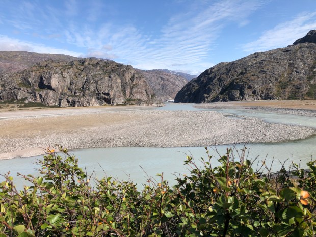
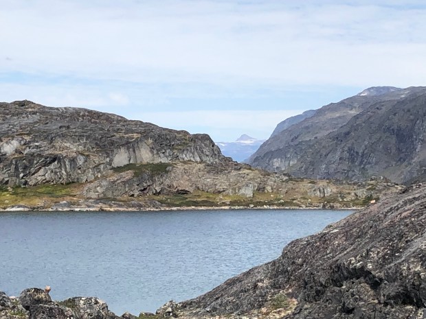
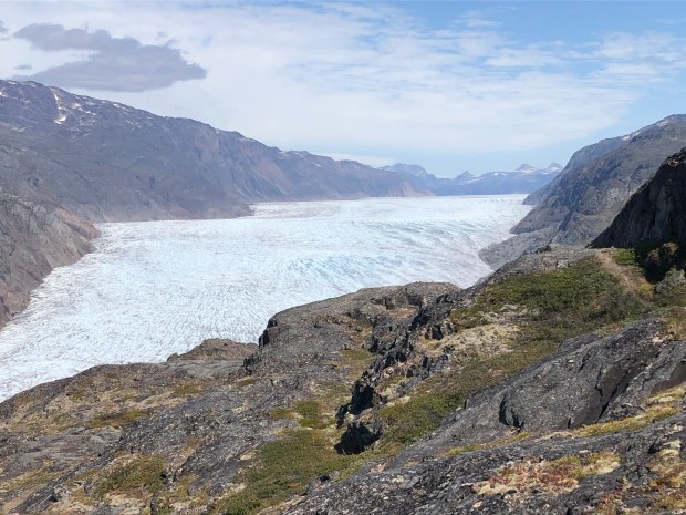
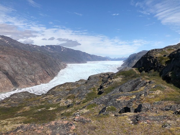
Anyhow, we hiked through the Flower(less) Valley to 400 meters up a mountain so get a good view of the Kiattuut Glacier.
Oy vey.
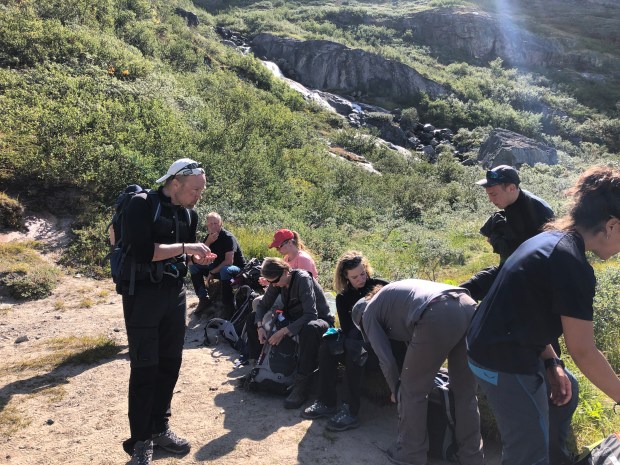
The steep part of this hike lasted for what seemed like hours, but was, in reality probably one hour. There were lots of ropes nailed to the side of the mountain to help get you up the mountain BUT we couldn’t use the ropes because they were old and fraying (you could literally see strands of the rope all along the path). Luckily our trusty guides knew where to weave us in and out to get us up there safely. Whew! It was definitely in the top three challenging hikes for me. (At least in the top three that I can remember at this moment in time….)
After we got past the steep part, we then had to walk on this itty bitty path that curved round the mountain with a lake below us. I tried to explain to Alex (the guide babysitting me at the time) where “poor motor planning” means, but he said there was no such thing, and I just needed to walk with confidence.
Ha! He didn’t see me on the side of a cliff in Malaysia literally frozen because I couldn’t figure out which appendage to move to get up the cliff. Luckily some man came from behind and shoved me up the cliff or else I might still be there.
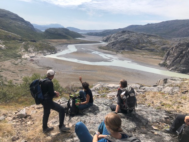
After that, the hike got less treacherous, and we finally reached the summit. Just in time for one last lunch of canned meats, triangle cheese, “bread” (crackers), and soup. I ate my peanuts per usual.
We then hiked down and back through the valleys to the road, drove to the dock, and zipped back to the Leif Erikson hostel in Qassiarsuk just in time for a traditional dinner feast.
Oh yeah, and when I say “hiked down”, what I really mean, at least for me, is that I slid down the steep part on my butt like it was a slide. One of my group members told me that I was going to get my pants dirty doing that – teeeheehe! Like that mattered! I was either going to get my pants dirty or suffer severe injuries so the pants seemed like a much safer bet.
(I have no pictures of the steep part or the lake part because I was in survival mode.)